LeTourneau Landing Boat Ramp
Warren County, MS
Description
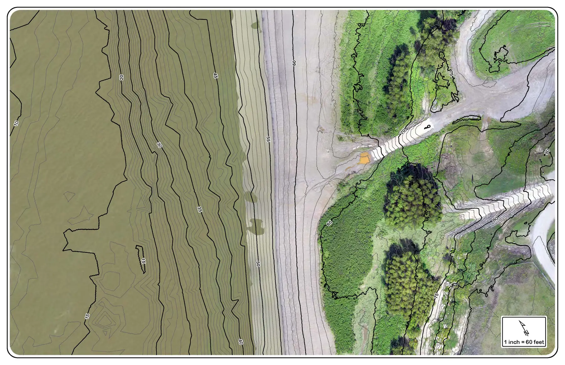
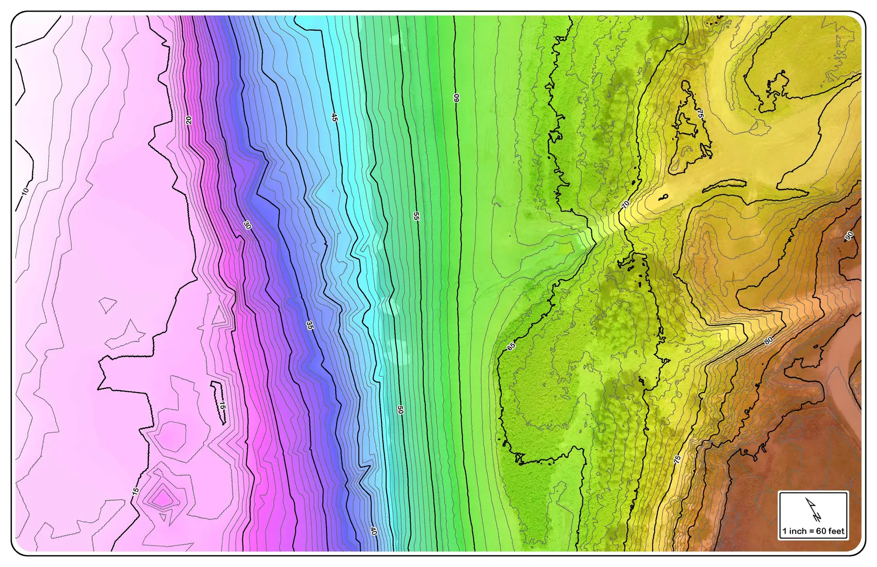
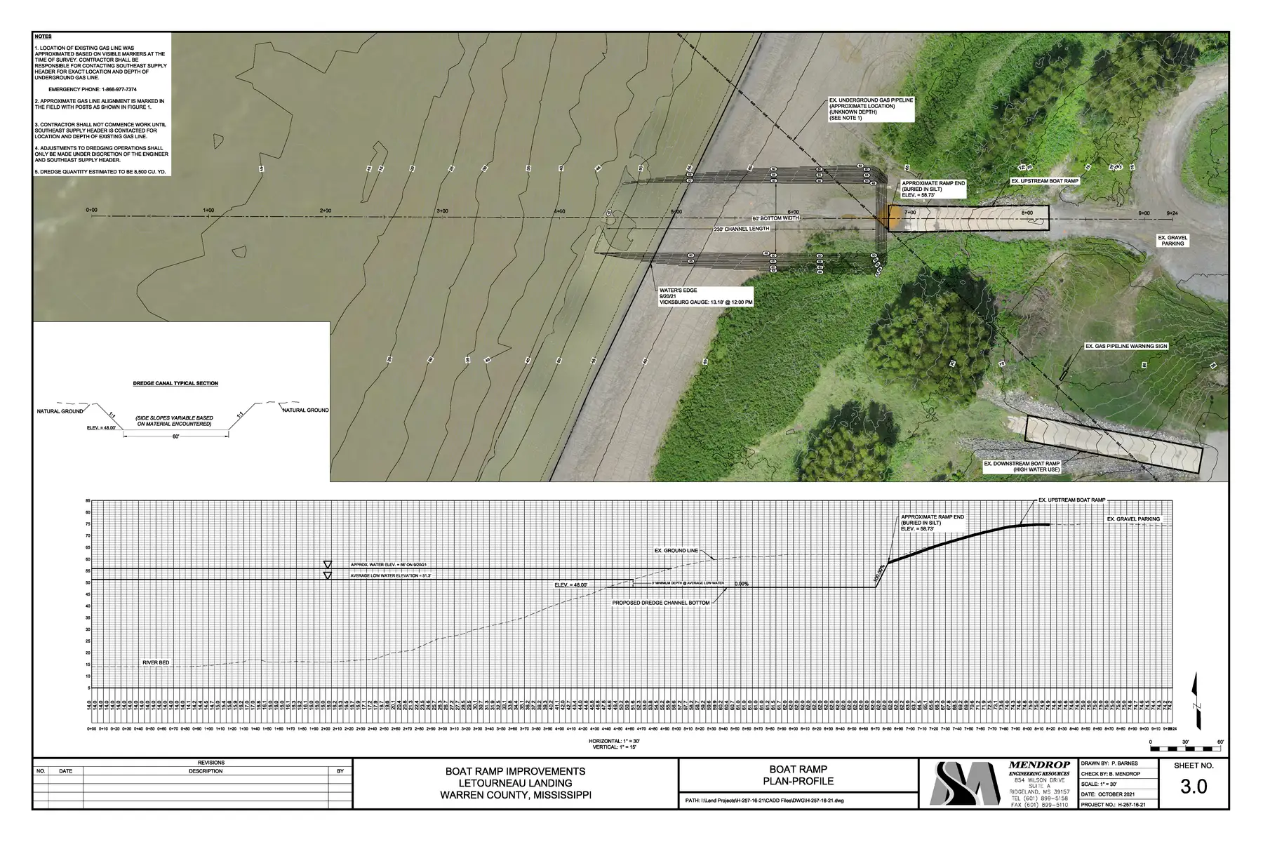
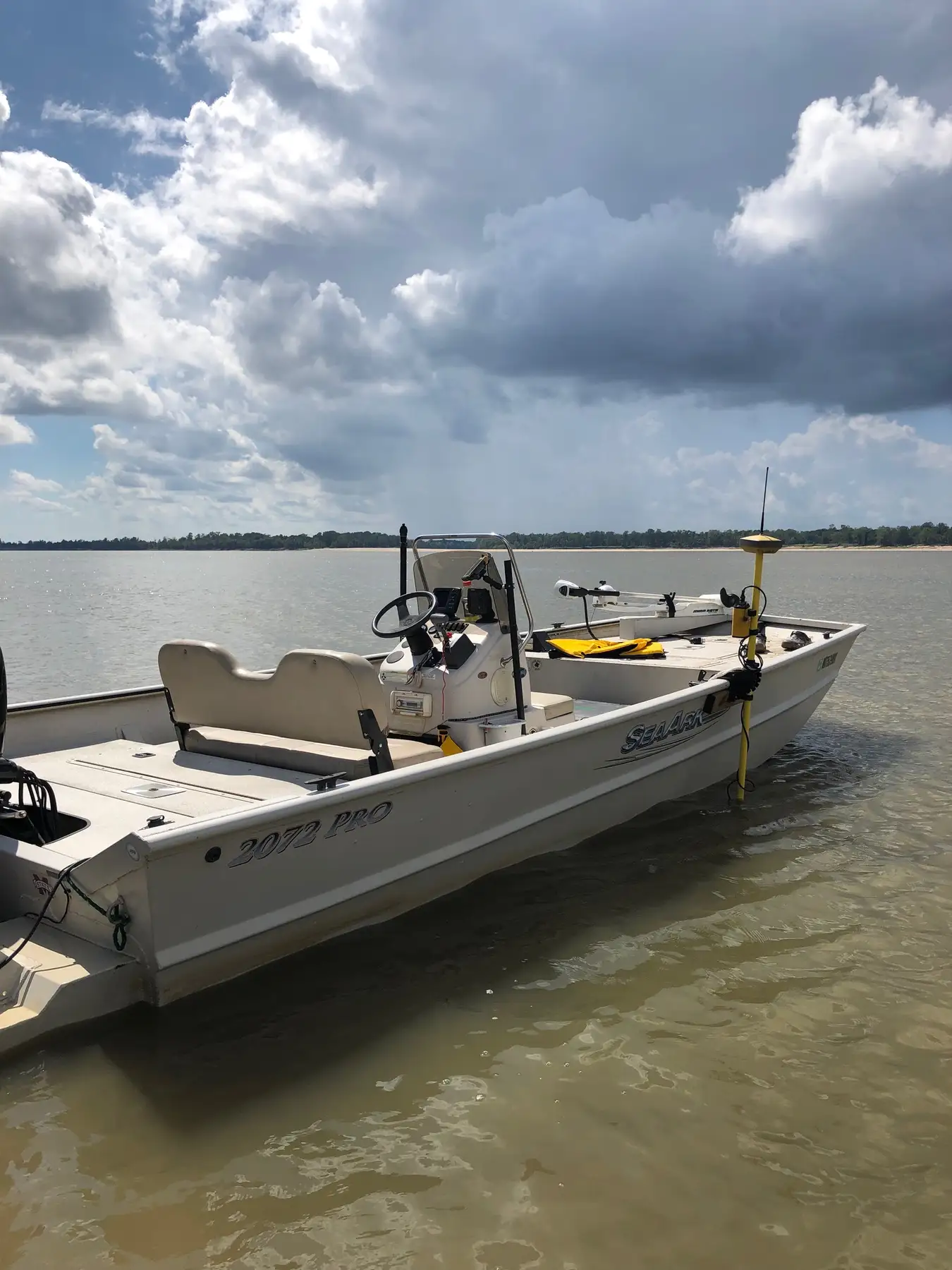
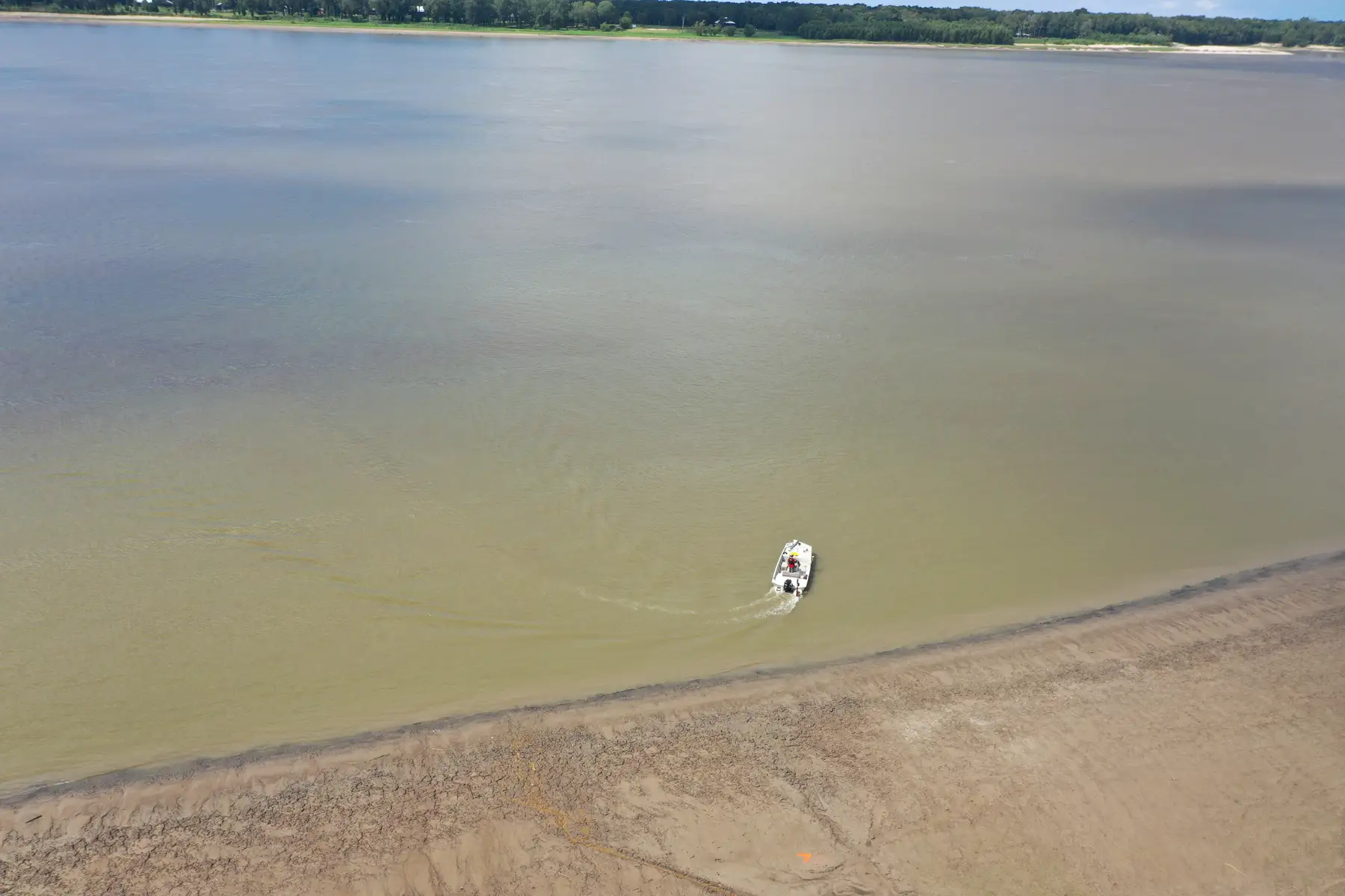
A large portion of the LeTourneau Landing boat ramp at River Mile 426 of the Mississippi River had been buried under accumulated sediment over the years. In 2022, the Warren County Board of Supervisors retained Mendrop to provide dredging plans to restore the ramp’s river access. Mendrop collected all of the bathymetric and UAV LiDAR survey data to develop the dredging plans, which included the removal of approximately 8,500 cubic yards of material. Excavation of this material will restore the original dimensions and provide boat ramp access to the Mississippi River.
Details
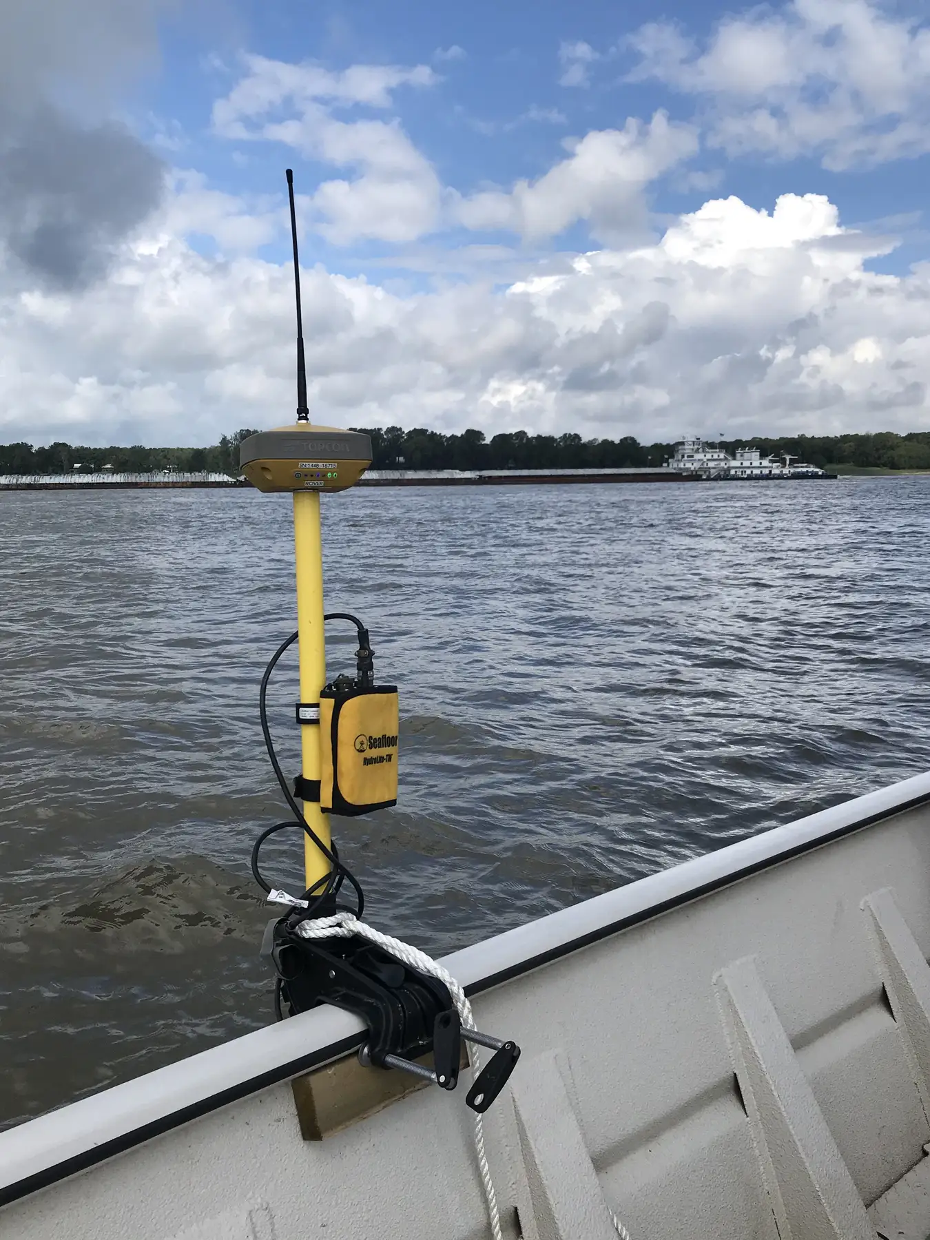
- Bathymetric Survey
- Plan Development
- UAV LiDAR
- Sector: Local Government
- Services: Survey